Near Record Low Pressure System Creates Friday Storm Outbreak
Article Presented By Classic Brands…
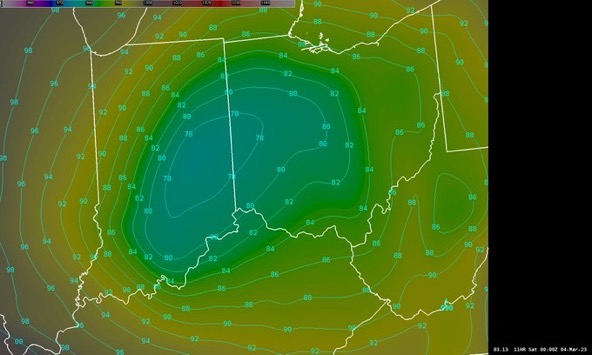
A barometric pressure drop below 980 millibars, which was among the lowest since the Winter Blizzard of 1978, created steady high winds and tornadoes in the Midwestern United States on Friday, March 3rd.

As of 10:19pm Friday, the National Weather Service Office in Wilmington, Ohio was reporting wind gusts between 35-70 miles per hour as a High Wind Warning was in place Friday through early Saturday morning. The 70 mile per hour high wind gusts were reported in Ross County at 7:03pm and 7:44pm. The Wilmington NWS Office reported the next highest gust of 69 miles per hour at 6:44pm.
For NWS Wind Speed Reports for 3/4/23, CLICK HERE:
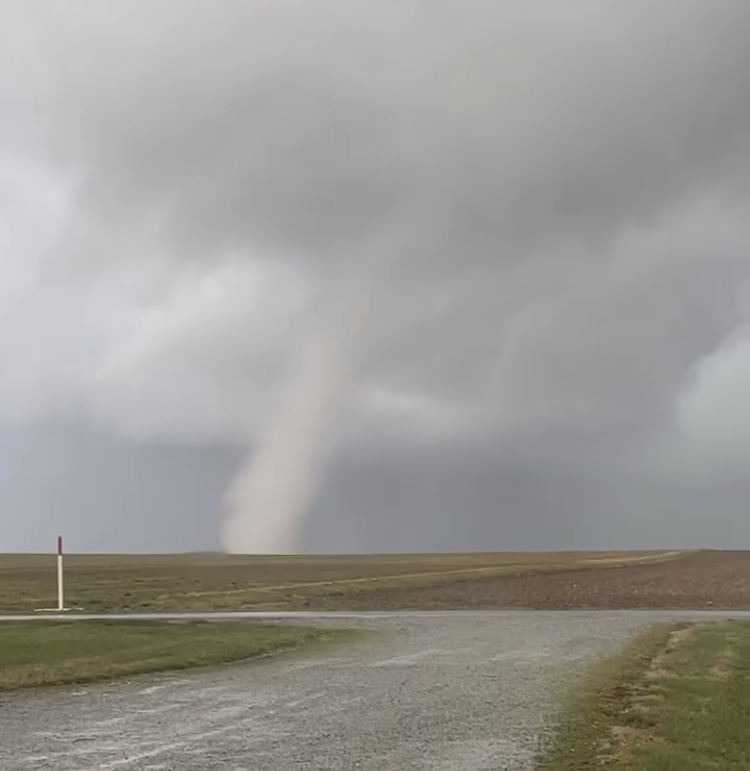
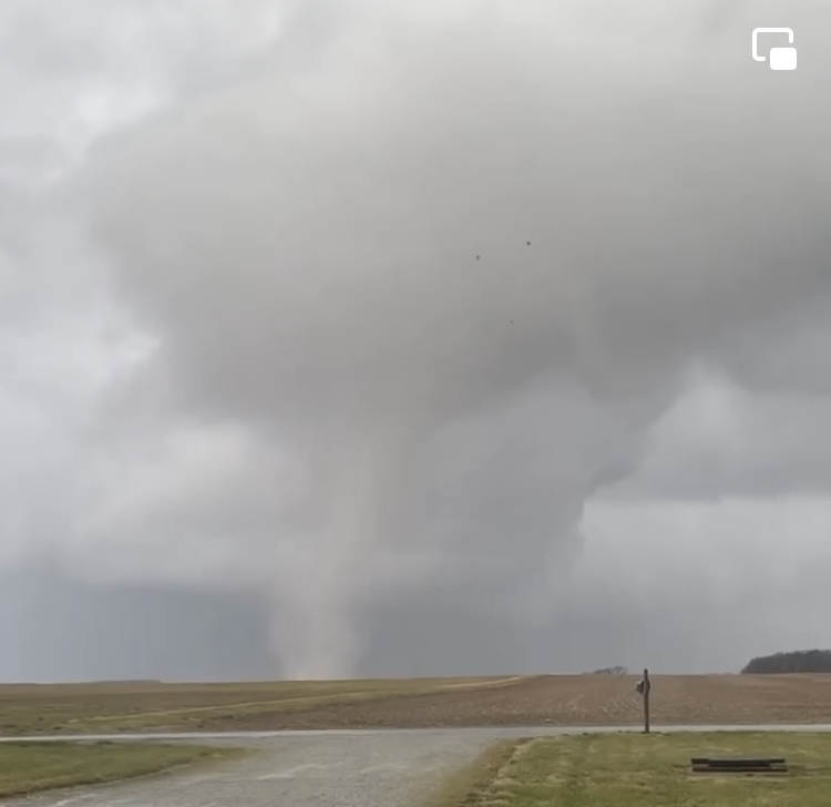
Multiple severe thunderstorm and tornado warnings in southern Ohio were issued by the National Weather Service, with two tornadoes confirmed in Highland County. One was an EF1 and the other was a smaller EF0.
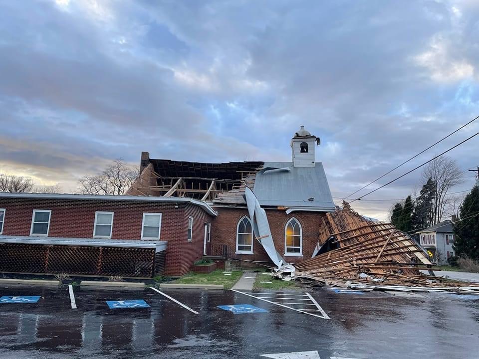
The EF1 tornado first touched down in a field southwest of Certier Road, three miles northeast of Buford. This affected a property there, causing significant damage to several barns. From there is moved to the northeast where it caused widespread damage in Willettsville and eventually heavy damage to the Fairview Church of Christ along Route 50 between Lynchburg and Hillsboro. (pictured below)
See more details in NWS THIS LINK:

One of the two twisters was caught on video near Hillsboro and U.S. Route 50.

The smaller EF0 tornado was south of New Vienna. This shorth-lived twister started near Panhandle Road, wesst of Wolfe Road. One house on Panhandle had damage and a shed behind another home was demolished. A few homes on Wolfe Road had roof and siding damage. One home even had damage to the siding on both the east and north facing walls. Some minor tree damage was observed near a bend in Wolfe Road, with no additional damage observed further to the north. FOR MORE DETAILS ON THIS STORM, CLICK HERE:
Reports of downed trees and electrical lines were common throughout the area.
Other reports of damage included the roof being blown off the Paint Valley Football Field House, along with damage to the Adena School Softball backstop and dugouts.
South Central Power Company’s outage website page was showing several thousand reports of customers without service, with many estimates of restoration Saturday night or Sunday.


