


Local Historian to Present on Early Mapping of Ohio’s Archeological Features
Article Presented By Kingston National Bank…
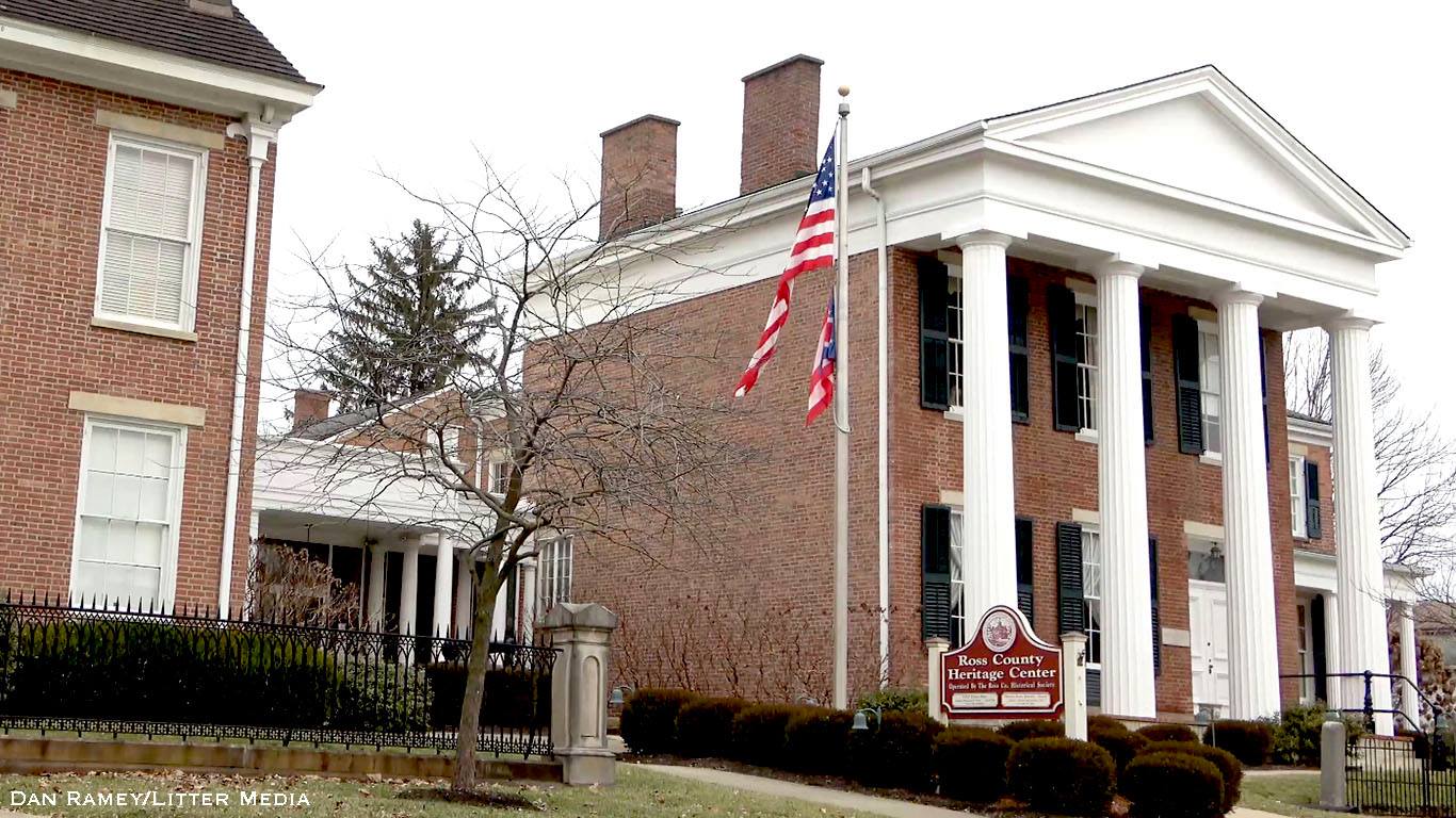
(Chillicothe) – The next meeting of the The Mound City Chapter of the Archaeological Society of Ohio will take place on Tuesday, November 11, 2025, from 6:30pm to 8:15pm at the Ross County Historical Society. The evening’s program will feature a compelling presentation titled “Early Statewide Mapping of Ohio’s Archeological Features: 1896–1914” by local historian Randy Sanders.
Sanders will trace the origins of Ohio’s archeological mapping efforts beginning in the late 19th century, highlighting the work of Warren K. Moorehead and the Ohio State Archeological and Historical Society (OSAHS). These efforts culminated in the creation of a large-scale archeological map documenting Ohio’s rich prehistoric heritage—including mounds, village sites, fortifications, and enclosures—by township.
Drawing from Moorehead’s 1897 field reports and the seminal 1914 Archeological Atlas of Ohio by William C. Mills, Sanders will explore how more than 70 individuals contributed to these early documentation efforts. He will also examine the scope and challenges of archeological fieldwork during that era, particularly within the Muskingum, Scioto, and Ohio River valleys.
The presentation will also feature new findings from a 2025 watershed study conducted for the Second Edition of The Ohio Stream Guide. Using data from the 1914 atlas, the study identifies which of Ohio’s major watersheds contained the highest concentration and density of archeological features. The results shed new light on how geography influenced prehistoric settlement and activity in Ohio.
This event is free and open to the public. Community members, educators, historians, and anyone interested in Ohio’s archeological past are encouraged to attend.