Presented By Scioto Valley Dumpsters, LTD
The National Weather Service has issued a Winter Storm Warning for most of Ohio, running between 12am Thursday through 7am Friday.
Total snow accumulations for south central Ohio are projected at 1-3 inches and ice accumulations of up to 3 tenths of an inch possible. This impacts portions of Central, South Central and Southwest Ohio.
Power outages and tree damage are likely due to the ice. Travel could be nearly impossible. The hazardous conditions could impact the morning or evening commutes Thursday and the morning commute Friday.
Areas north of this line could see snowfall amounts of several or more inches, including up to a foot of snow in northwest Ohio.
Friday and Saturday low temps will be in the single digits, which will allow whatever falls in our area Thursday night through Friday morning to stick around for a few days.
Here’s the updated NWS forecast for south central Ohio as of 3pm 2/2/22:
Thursday: Freezing rain and sleet before 4pm, then sleet between 4pm and 5pm, then snow and sleet after 5pm. The snow could be heavy at times. Temperature falling to around 25 by 5pm. North northeast wind between 15 and 20 mph, with gusts as high as 29 mph. Chance of precipitation is 100%. New ice accumulation of 0.1 to 0.2 of an inch possible. New snow and sleet accumulation of less than one inch possible.
Thursday Night: Snow and patchy blowing snow before midnight, then snow likely and patchy blowing snow between midnight and 1am, then a chance of snow after 1am. The snow could be heavy at times. Low around 15. North northeast wind between 15 and 20 mph, with gusts as high as 26 mph. Chance of precipitation is 100%.
Friday: A 40 percent chance of snow before noon. Mostly cloudy, with a high near 22. North northwest wind between 8 and 13 mph.
Friday Night: Partly cloudy, with a low around -1.
Saturday: Sunny, with a high near 24.
Saturday Night: Mostly clear, with a low around 11.
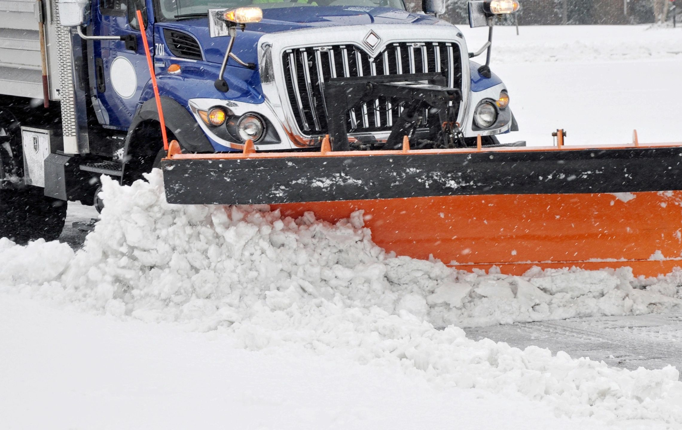
The Ohio Department of Transportation says their crews will be out in full force. “During winter storms, ODOT strives to keep roads passable to help ensure that emergency services and essential workers can safely reach their destinations,” said ODOT Director Jack Marchbanks. “But even with our crews out in full force, roads will likely be snow and ice-covered, and it will take much longer to travel. Once the storm moves out, our crews will be able to make progress toward getting traffic moving at regular speed.”
“ODOT’s goal is to have the average traffic speed on primary routes back to within 10 mph of the posted speed limit within 2 hours and secondary routes within 4 hours of the end of a storm. ODOT forces hit that goal 95% of the time last winter.”
Keep checking this article for updates through Thursday.

More Stories
Appalachia Grant Monies: Oh, Happy Day!
DeWine Announces Transformative $154 Million Investment in Appalachian Downtowns and Destinations
Heritage Nazarene To Host Tragedy Into Triumph Series