Article Presented By Scioto Valley Dumpsters…
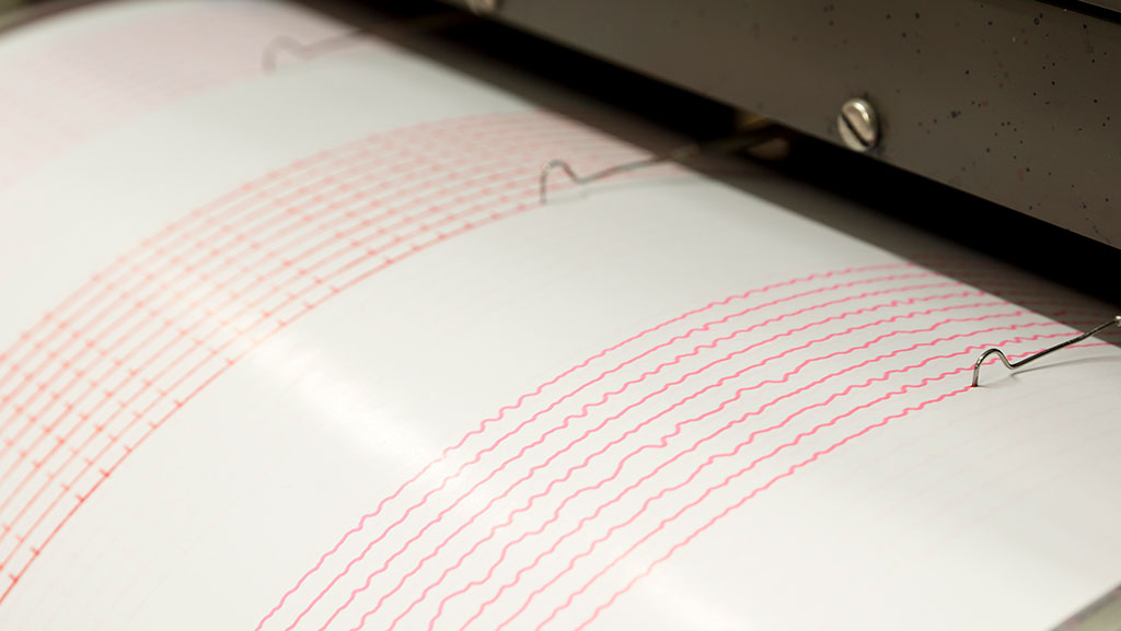
(ODNR) – The Division of Geological Survey coordinates a 21-station network of seismograph stations throughout the state in order to continuously record earthquake activity. The Ohio Seismic Network (OhioSeis) went online in January 1999, ending a five-year gap during which there was only one operating station in Ohio. Ohio has 24/7 monitoring and coverage by seismic stations with automatic detection, location and magnitude determination. OhioSeis is an advanced and modern seismic network that will give Ohio the ability to monitor and detect earthquakes all over the state well into the future.

The OhioSeis stations are distributed across the state but are concentrated in the most seismically active areas or in areas that provide optimal conditions for detecting and locating small earthquakes. These small earthquakes are important because they occur more frequently and help to identify the locations of faults that may periodically produce larger, potentially damaging earthquakes. The Division of Geological Survey coordinates the seismic network and operates from the Ohio Earthquake Information Center at the H. R. Collins Laboratory at Alum Creek State Park in Delaware County.
OhioSeis provides a new dimension of understanding about the pulse of the Earth beneath Ohio. Although the seismic network cannot predict earthquakes or provide an alert prior to an event, it provides insight into earthquake risk in the state so that intelligent decisions about building and facility design and construction, insurance coverage, and other planning decisions can be made by individuals, business and industry, and governmental agencies.
While major earthquakes in Ohio are rare, the New Madrid Earthquake that struck in 1812 is an example of how such an earthquake is possible through the Midwestern United States, including Ohio.

More Stories
Red Cross Seeks Donors May Trauma Awareness Month
Ohio A.G. Seeks Input On Signature Protections
Recommendation Made to Raise Postal Rates